

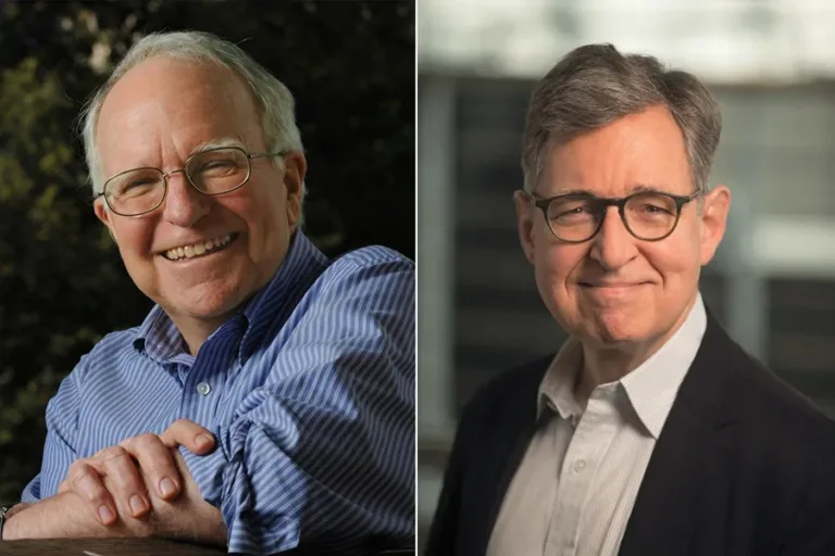
The 2026 economics prize: why Hall and Woodford put expectations at the center
The award to Robert E. Hall and Michael Woodford highlights how household and business decisions shape economic stabilization.
The world on one map. Explore signals, alerts and the places that matter.
The award to Robert E. Hall and Michael Woodford highlights how household and business decisions shape economic stabilization.
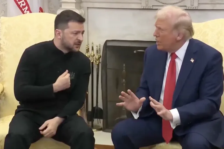
Washington Defends Easing Restrictions on Russian Fuel; Ukraine and the European Union Warn the Move Could Help Finance the War.

The agency has not confirmed a plague case in Irkutsk. In a separate event, it reported on Ebola in Congo and an imported case detected in Kenya.
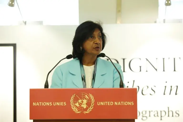
The South African jurist worked at the tribunals for Rwanda, the International Criminal Court, and the UN. Her career helps clarify what each institution does.
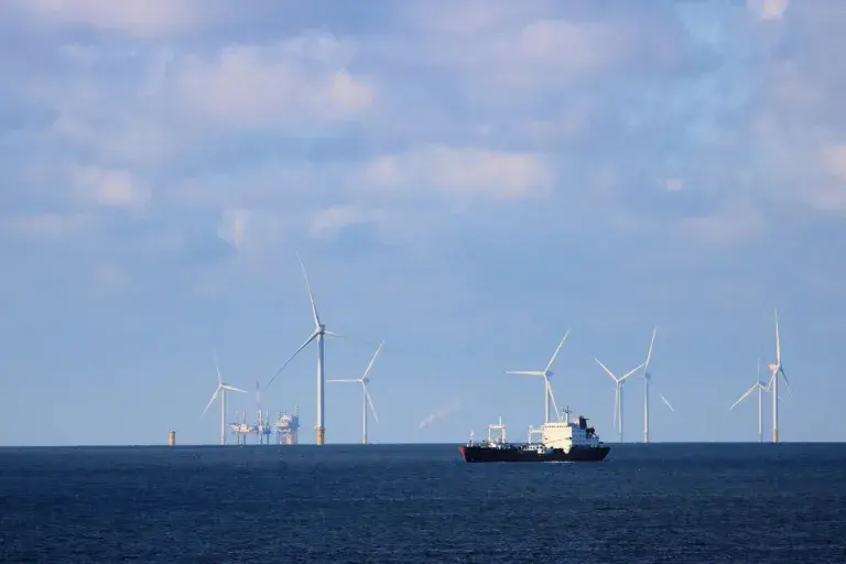
The measure identifies ships and operators; it also removes two vessels from the list. What the statement says—and what it does not allow us to conclude about oil.
Map adapted from World Intel MCP. Its layers use USGS, GDACS, NASA EONET, NOAA SWPC and UN News. Every item retains its timestamp; peace and security bulletins are UN publications and map locations are approximate. Trade chokepoints are geographic references, not closure alerts.
The indicator shows the highest impact level among current disasters reported by GDACS. It is not a war prediction or a personal safety assessment. When adequate data is missing, the status is marked unavailable.
The display checks a shared snapshot every 15 seconds without reloading the map. USGS is checked every minute; GDACS every 10 minutes; NASA and UN every 15 minutes; NOAA every 5 minutes. Each source timestamp appears in Summary.
World Intel MCP · MIT · GDACS · EC-JRC / Naciones Unidas · USGS · NASA EONET · NOAA SWPC · UN News