

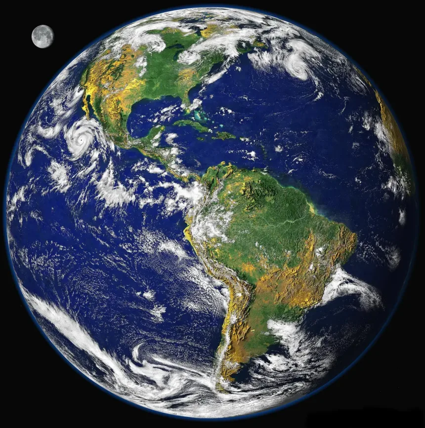
The NOAA bulletin dated September 10, 2026 describes a strengthening El Niño and a greater than 90% probability of a very strong episode during the Northern Hemisphere fall and winter. This is the monthly report available on the page consulted for this explanation; its probabilities are not a daily rainfall forecast for Mexico.
El Niño is a phase of a system that connects the ocean and atmosphere in the tropical Pacific. It is not just a matter of finding warm water: changes in winds and rainfall zones are also observed, showing how the system as a whole responds.
The ocean changes, and the atmosphere responds
Under normal conditions, trade winds help push warm waters toward the western Pacific. When this pattern weakens, the distribution of heat and atmospheric circulation change. Its effects can reach distant regions through shifts in rainfall and temperature patterns.
That does not mean all areas respond the same way. The season, geographic location, and other phenomena influence the outcome. An El Niño forecast can change seasonal probabilities without determining on its own whether it will rain in a neighborhood on a specific afternoon.
What RONI is and why it appears now
NOAA says that since February 2026, it has used the Relative Oceanic Niño Index, RONI, for its official monitoring. The idea is to assess warming in the Pacific reference region in relation to the broader thermal state of the tropics, rather than interpreting every regional anomaly as if the rest of the ocean were unchanged.
The page distinguishes RONI from the historical ONI indicator and provides both series. This difference matters when comparing headlines from different years: you need to check which index is being used and what averaging period applies. A three-month value is not the temperature on a single day and does not describe the absolute temperature of the sea.
Probability does not mean certainty
A 90% forecast can be thought of as nine outcomes out of ten in a large set of comparable situations. It does not mean the phenomenon will affect 90% of cities or that a region will get 90% more rain. Every percentage needs a defined question and variable.
For Mexico, a useful reading combines this Pacific context with regional forecasts and current weather advisories. El Niño helps explain the seasonal outlook; decisions about a storm, a trip, or an alert require local information. Keeping those scales separate makes it possible to take the risk seriously without turning a global forecast into a certainty it does not offer.
.jpg)